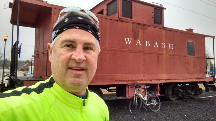
 I was eager to get started on my #BikeOhio1000 journey, so I rolled the dice and made the commitment the day before that I was headed to NW Ohio. Today was a chilly 41 degrees, with a nice breeze out of the NE; overcast but dry. My start point today was Whitehouse, Ohio; a charming little town that has opened it’s arms to the cycling community. Lots of parking next to the trail head, bike shop (Cycle Werks) on one side and a nice little coffee shop, “Share Our Grounds,” on the other. The Wabash Cannonball Trail, a rails-to-trail in every sense, has 2 forks, the northern fork which runs east-west from Maumee to Montpelier (about 46 miles), and the southern fork (my route) which runs SW to NE from Maumee to and Liberty Center (approx. 17 miles). Whitehouse sits at the 5-mile marker. One of the interesting aspects is that from near Maumee (mi marker 0) to 10 ½ miles the trail is nicely paved. I mean, it’s like your own little 2 lane freeway.
I launched from Whitehouse after a small black java and headed NE. Head wind was steady; riding my Fuji Jari Gravel Grinder in preparation for the unknown 7 miles at the other end of the fork. Made the turnaround at the North/South Fork connector. The paved section is housing developments on one side, and farm land on the other. I did see a great horned owl, red tail hawk and your basic cottontails and squirrels along the trail. Afer the turn around on the way back, I was 4 mph faster with the tail wind, now knowing that is what I will be riding in coming home. I zipped past Whitehouse again traveling SW. The transition to grass trail & gravel, sometimes double track, was very abrupt at the 11-mile marker.


The off-road trail portion was well marked at every road crossing yet lightly traveled. You are very isolated, though you do cross a county road about every mile. You travel through woods and farm land. Perhaps in the summer you are more protected from the wind when the corn comes up. The trail ends near Liberty Center was basically a dead end. With only a few soft turns, the trail is nearly a 17 mile straight line. I made the turnaround, and head back to Whitehouse into that headwind. 35 miles, 2 hr 35 minutes.


I packed up and hopped over the Waterville, about a 10-15-minute drive. There is a nice Towpath Trail there that connects the areas 3 Metroparks, with the trail running to Grand Rapids, nearly 8 miles. Gravel trail with great views of the waters of the Maumee River. There is even a small section of the towpath that is part of the Buckeye Trail.


Ride time, about 1 hr. 15 minutes, only snapped a couple of pictures as batteries were running low. This was also my first try with my new DBPower (Go-Pro-like) camera which I had mounted on my helmet. Worked well, though many functions I have yet to discover.
Chilly day, but truly a great day on the bike! Still learning how to navigate and build my page.
