September 1, 2021
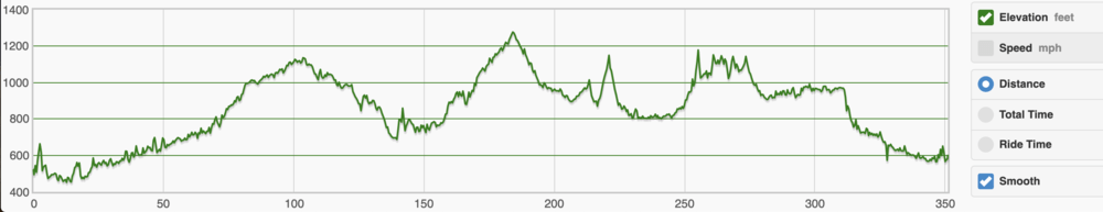
I have covered most of the Ohio to Erie Trail many times. The Pan Ohio Hope Ride utilizes much of the same route as well, which I have done 5 times in the past, 4 days – 328 miles – group ride with awesome support/rest-feed stations nearly every 15 miles. This summer, one of my goals was to solo ride the OTET in 2 days (bail out was 3 in case of weather or mechanical). I “pre-rode” the Alum Creek Trail section thru Columbus 2 weeks prior as the southern section was one of the few sections I had never covered before. The trail south of the airport, where it begins to turn to the west taking you into the city was under construction, taking riders off trail/onto the road. The area was a little sketchy and it would be a section I would be traveling over in the very early morning hours of day 2. With that I opted to cross over to the Olentangy trail when the time came.
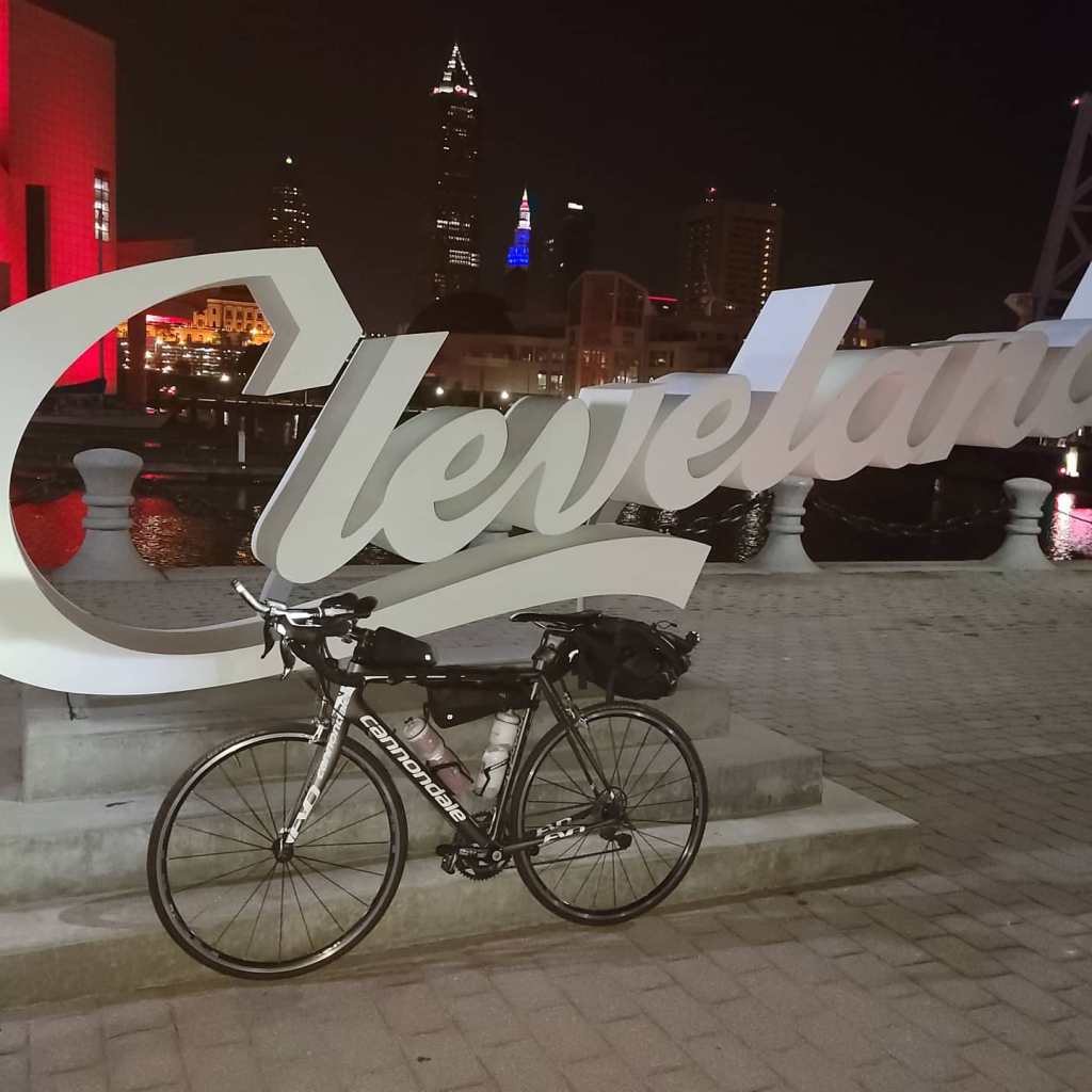
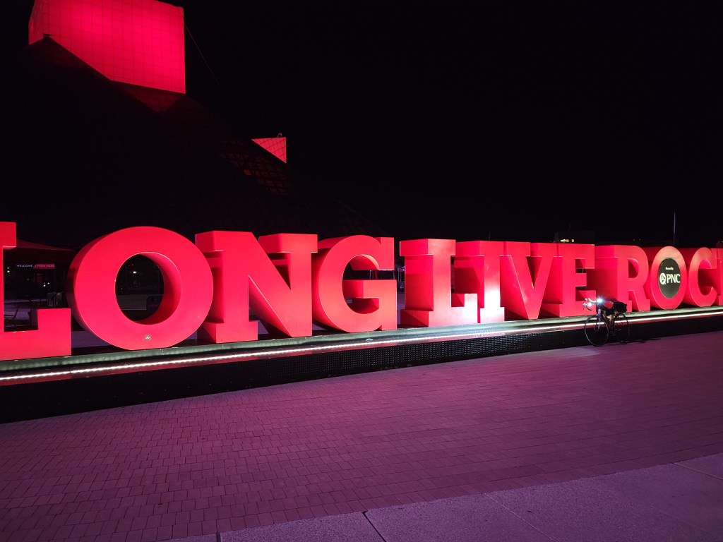
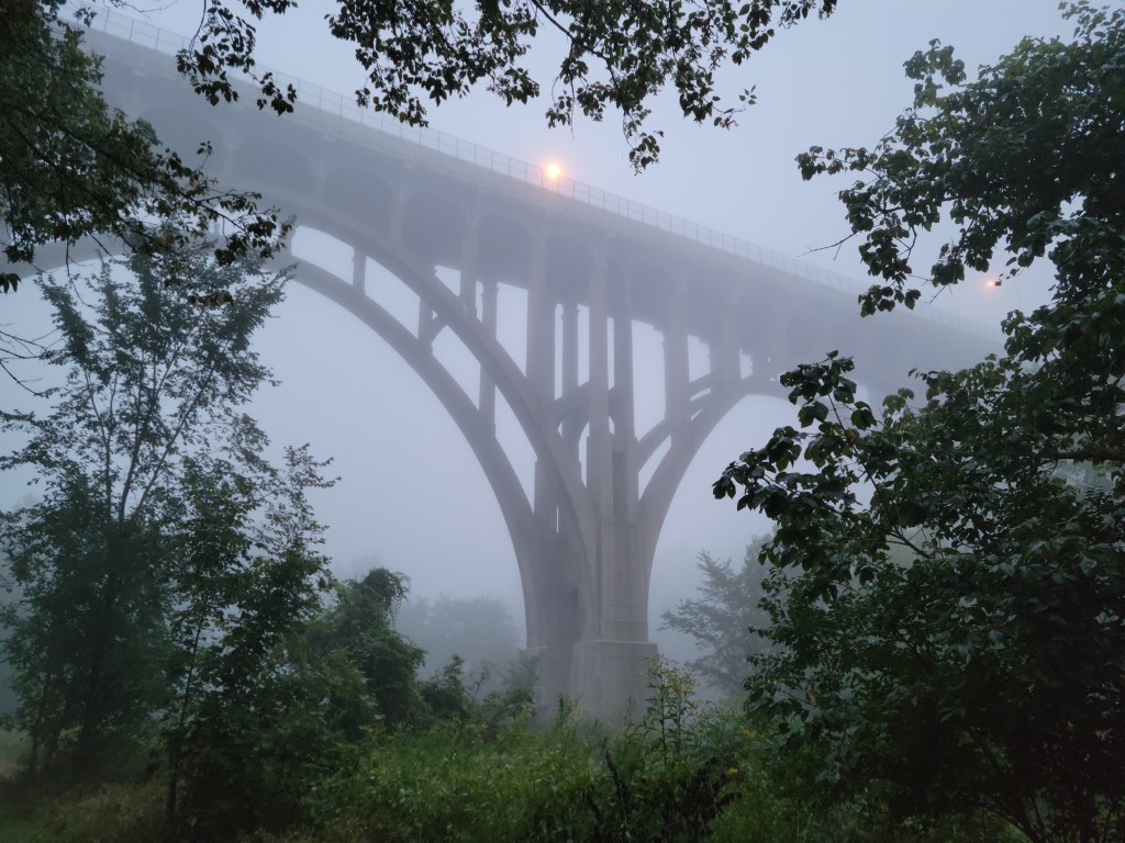
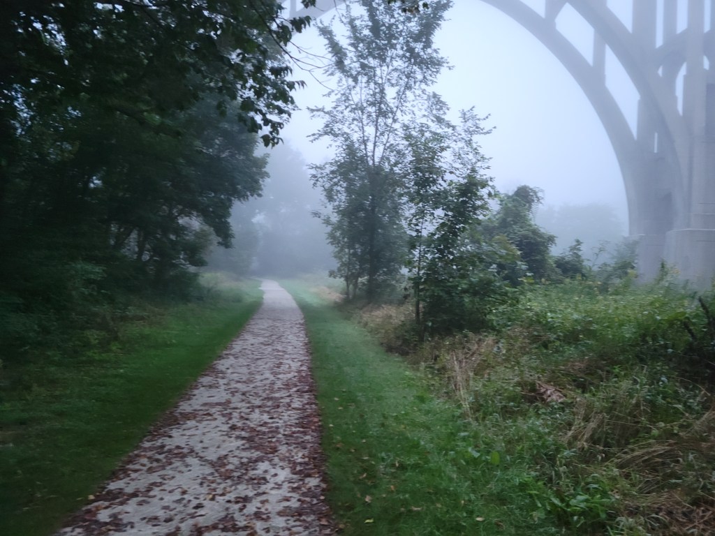
I started at the East 9th St Pier / Rock & Roll Hall of Fame Cleveland script sign (vs Edgewater Park). No significant change in mileage. My daughter lives downtown and I had stayed with her the night before so as to make logistics easier on all. 5:30 AM Rode up East 9th, right on the Superior, over the Detroit bridge, turn left on W 25th, down Franklin on onto the trail. Very dark still. At the 11 mile marker, I enter the Cuyahoga Valley National Park and the trail turns to crushed limestone. I opted to ride my Cannondale Evo 6 carbon road bike for speed and reduced weight. The 23mm road tires did quite well. There were a few small section where it got a bit squiggly but all good. My Fuji Jari gravel bike runs 35s, more stability and comfort, but ave. speed would be 2-3 mph less.
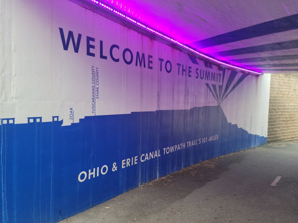
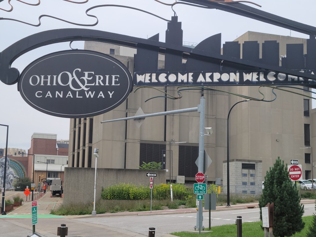
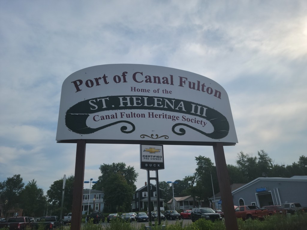
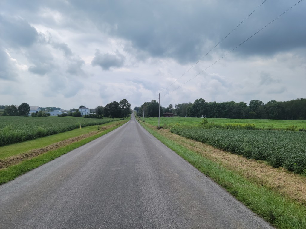
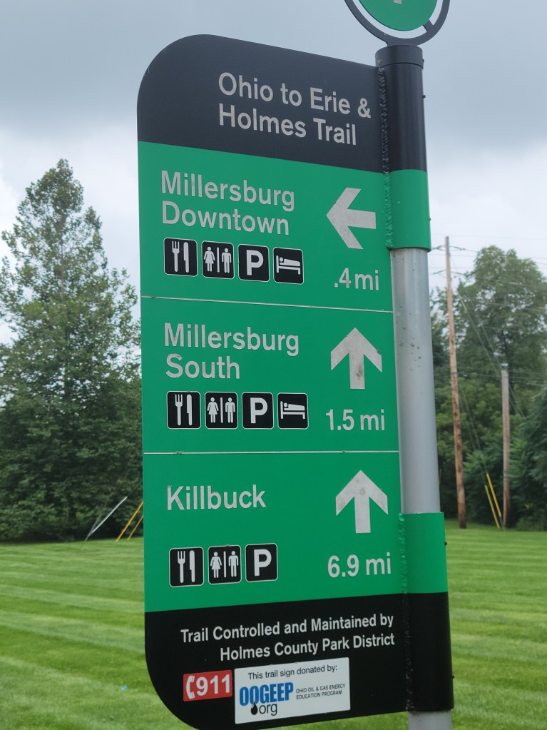
At approx mile 33 you enter the Summit Co trail taking you into and thru Akron (past Canal Park), Thr trail is very clearly marked, no issues navigating. On the south side of Akron you travel past Summit Lake (water stop there). Roll on thru Barberton, Clinton and into Canal Fulton with majority of surface still limestone. The trail then kicks to Massillon (to the east – Sippo Trail). Perhaps one of the rougher section of the entire trail. It then turns back to the west and takes you into Dalton. I met a nice lady (Laura) as I was sitting at an intersection in Dalton checking navigation. She kindly escorted me to Henry St where the on road section take you towards Apple Creek. Country roads, chip and seal, light traffic, some small rollers.
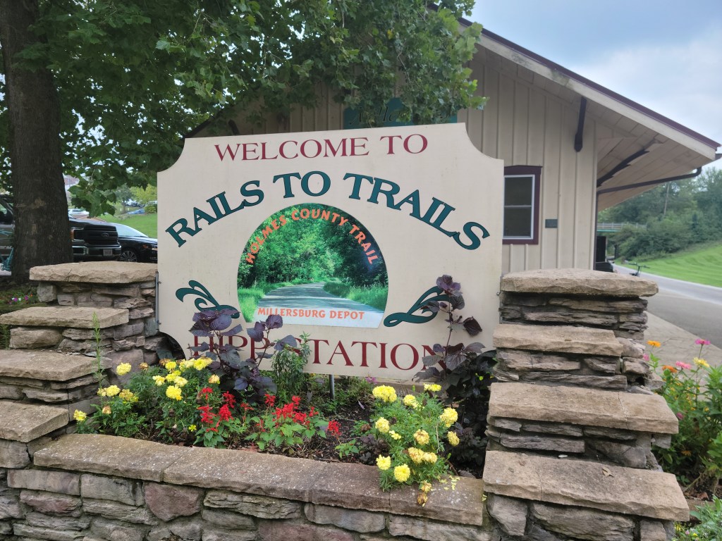
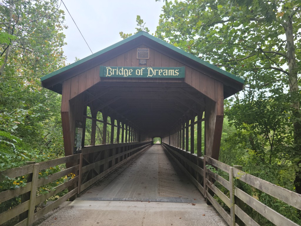
Refilled bottles and picked up some snacks in Apple Creek. Feeling good. My rules were to try and drink 1 bottle of fluid about every 10-15 miles, and was constantly snacking and hitting a GU. Fredericksburg starts the Holmes Co. trail, lot of “Road Apples” LOL. The trail ends in Kilbuck and perhaps my least favorite section on road to Glenmont. Twisting rollers with 45-60mph vehicle traffic ripping by. It also started to rain lightly as I rolled into Glenmont. Flashbacks to the Funk Bottoms Gravel ride which starts there. Now that was a tough day in the saddle!! I am now about 110 miles into my 1st day ride. Back on the gravel trail with what was about 20 minutes of a constant though moderate uphill section; 90 rpm spinning and 11 mph. The rain continues. 😦 This section hosts one of the many major landmarks of the trip, “The Bridge of Dreams,” Ohio’s longest covered bridge spanning the Mohican River. The Mohican Valley Trail brings you into Danville. I stop at the Subway for a small sandwich and more fluids. 20 minutes off the bike and a quick break from the rain, but I cool off quickly being wet and sitting inside in the AC. It will only be 30 minutes total out of the saddle from Cleveland to Westerville. I ride about 300 yards and onto the Kokosing Gap trail. Still raining.
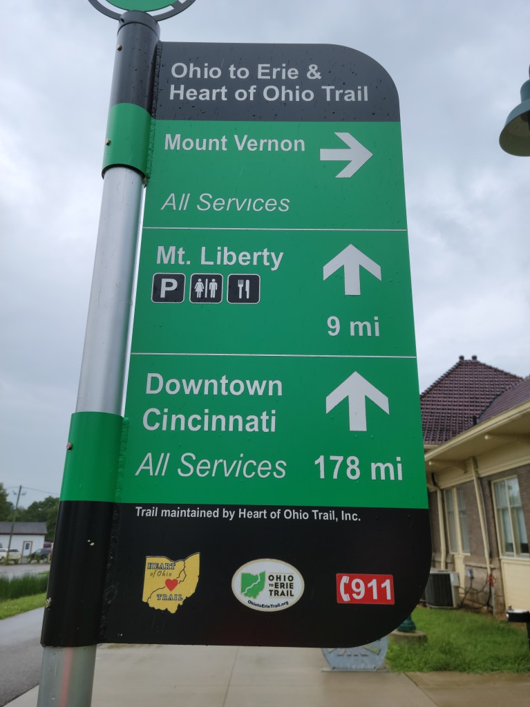
The rain (steady drizzle) continued into Mt Vernon. Some local construction got me spun around for a few minutes, but I re-connected with the Heart of Ohio trail and continued on. By Centerburg, the rain finally ended. Hopped onto one of the road section sections to Sunbury; rolling country roads for the most part. Energy levels running a little low at this point. Just south of the town square in Sunbury I connect with the Galena trail, and start my final push to Westerville/Gahanna. My plan was to get to the Morse Rd trailhead on the Alum Creek Trail but many sections are under water (knee deep in some spots). My daughter Sarah picked me up at the Westerville Rec Center. It was about 7:00 PM, 13 1/2 hours from start time, 181 Miles.
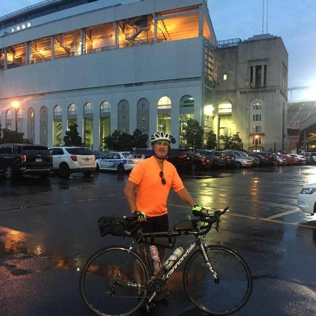
Refueled and rested up. Clothes wash. 🙂 Left before sunrise on day 2. Connected with the Olentangy Trail north of OSU.
Headed south and hopped on the Lower Scioto Trail. Had a navigational issues at mile 7 (rode up to Dublin Rd before I determined I took the wrong way at the fork). Back tracked and continued on SW. My only real navigation issue of the trip came in Darby Creek Park where I somehow got spun around and wound up riding back northeast for 2-3 miles. Shit! While backtracking, I did lay my bike down on a curved, wet, leaf-covered section. Minor scrapes, bike OK. I was just distracted from my nav error, and now a little pissed off but feeling lucky that all that went wrong was a few scrapes and a loss of 15-20 minutes. Anyway, there is a very short section at the bottom of a hill where you would think you empty into the parking lots but there is a small trail that looks like a single track horse trail, whereas everything else is fresh asphalt. That little section takes you up to a bridge and then on to London.
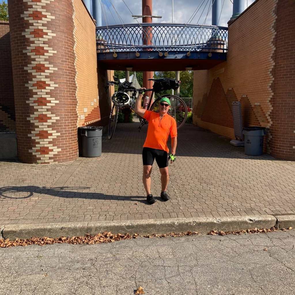
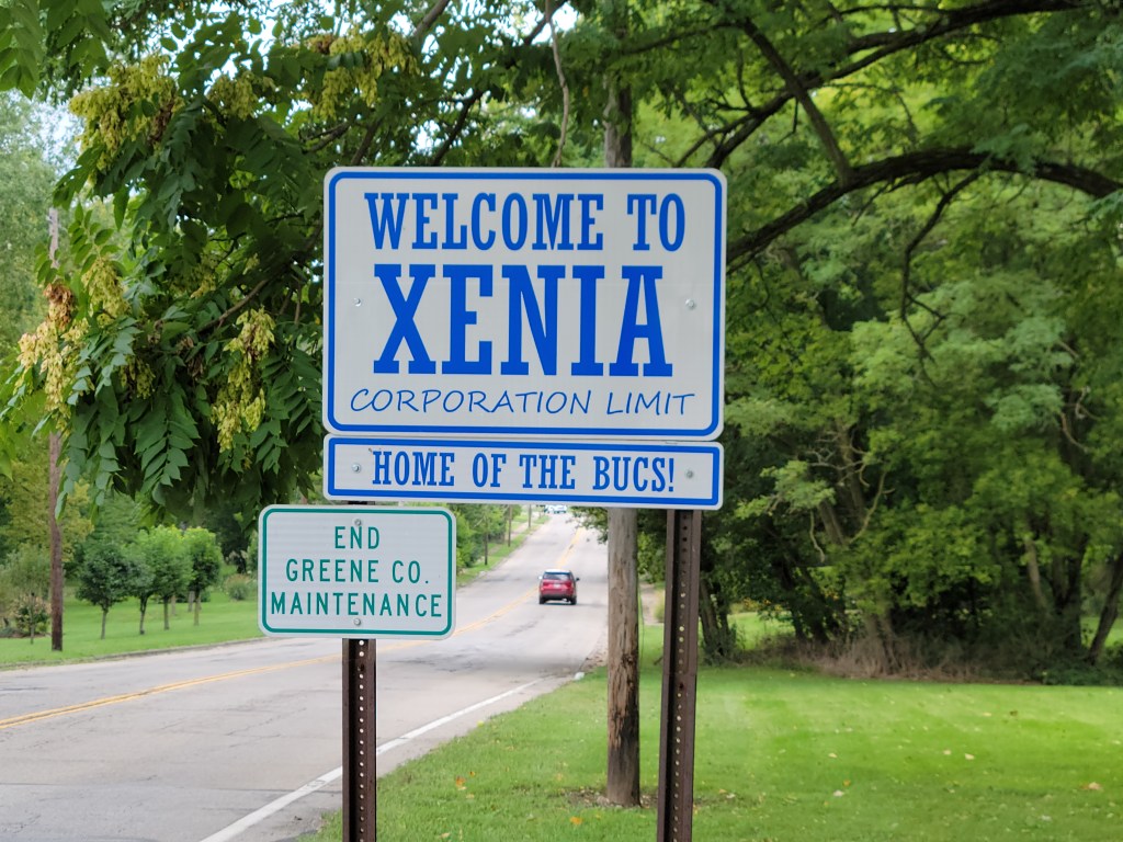
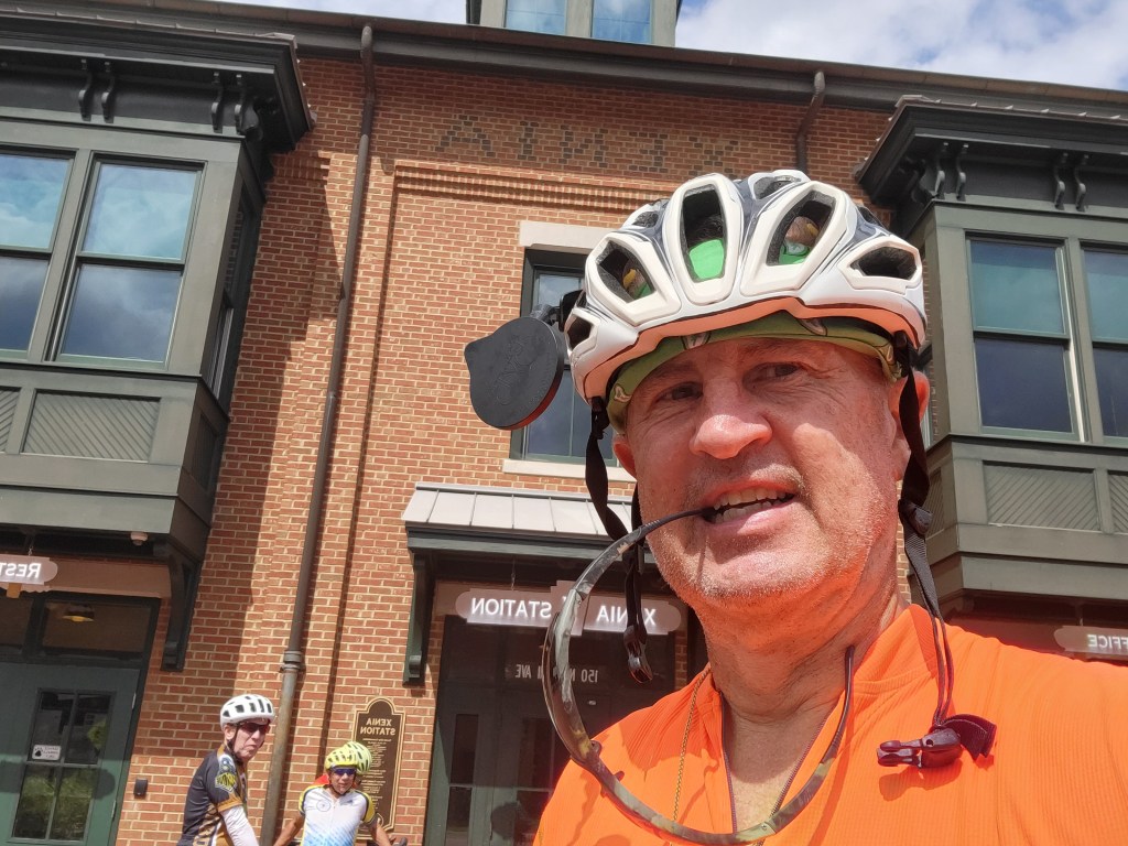
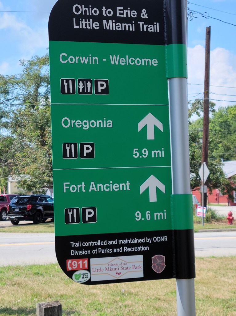
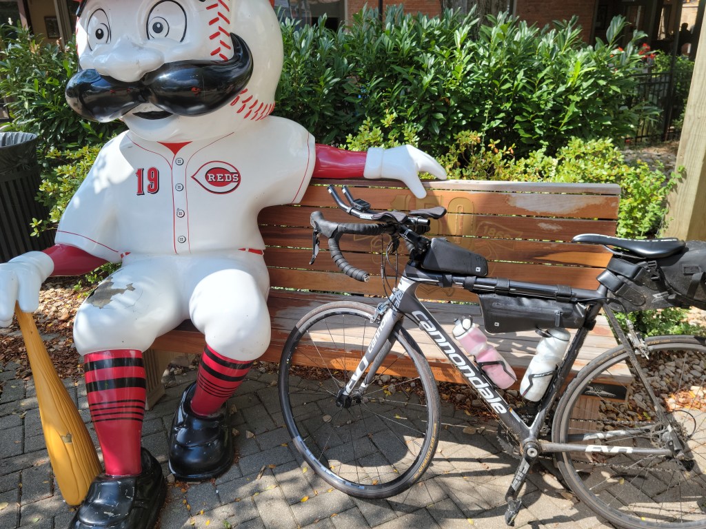
There are a few miles of off trail as you enter London. Stopped for refuel at a gas station then connected to the Prairie Grass trail. Very flat but with some cross winds. I went down on my aerobars, dropped the hammer to Xenia. (I averaged over 18 mph on that section of trail). Xenia is the true HUB of Ohio bike trails. Took a few minutes at Xenia station to chat with some fellow riders, then off to the Little Miami Trail. This trail is very shaded as I ride south with the Little Miami River on my right shoulder. There are a few trail towns like Corwin, Morrow and a few riverside bars where you can stop for a re-fuel. Loveland is next and this town has really developed over the past 20 years and is very bike-friendly as well. Just south of Milford the trail presently ends and goes on-road for the last 11-12 miles. I chose to ride on the sidewalk for a large part of this section (thru Mariemont and Mt Lookout area) until I got to Kellogg Rd/RT52 which had a decent bike lane, though traffic was heavy; near rush hour plus the Reds were playing a home game. Arrived at the waterfront greeted by my brother Kirk, near Great American Ballpark at around 4:00 PM 330 total miles, 23 hrs on the bike. He had a little bottle of bubbly for me and took my picture in front of the Flying Pigs Bridge. Great trip. Very satisfied with my effort.
Below is my photo journal of the ride. I’m not much of a photographer. I used these pics to text and post to my family to let them know where I was along the trail.


Keep on riding – BikeOhio1000
